2" Prop
01
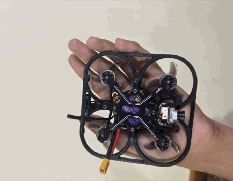
Technical specs
- Weight (AUW)
- 80–120 g
- Motors
- 1102–1103 (10k-15k KV)
- Battery Config
- 2S 450–650 mAh
- Flight Time
- 4–6 min
- Range
- 1–2 km
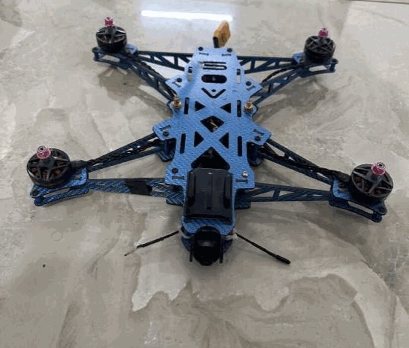
2″ FPV Tinywhoop
Part 1 • Micro Recon / Training
INR 60,000/-
 Drone Manufacturing
We don’t just manufacture drones — we create aerial ecosystems that transform the way industries operate.
Who we are
Aerofoil Innovations Pvt. Ltd. is a technology-driven drone manufacturing and aerial solutions company building intelligent UAVs for commercial, industrial, government and defence applications.
Our team combines engineering excellence, innovation and advanced research to develop reliable drone systems that solve real-world challenges through automation, precision and data intelligence.
[ Why choose Aerofoil ]
40 min
[ FLIGHT TIME ]
130 km/h
[ TOP SPEED ]
200 km
[ TELEMETRY RANGE ]
What we do
Complete drone solutions under one roof — from design and manufacturing to deployment, data and lifetime support.
High-performance UAVs designed for various industrial applications.
Smart spraying, crop monitoring, and precision farming technologies.
Accurate GIS mapping, land surveys, and 3D modeling solutions.
Drone-based inspections for bridges, power lines, pipelines, and industries.
Real-time aerial monitoring for government and private organizations.
Fast and efficient delivery solutions for remote and critical locations.
Innovative UAV technologies powered by AI and automation.
Complete technical assistance and lifecycle management.
[ 8 CORE SERVICES · 10 INDUSTRIES ]
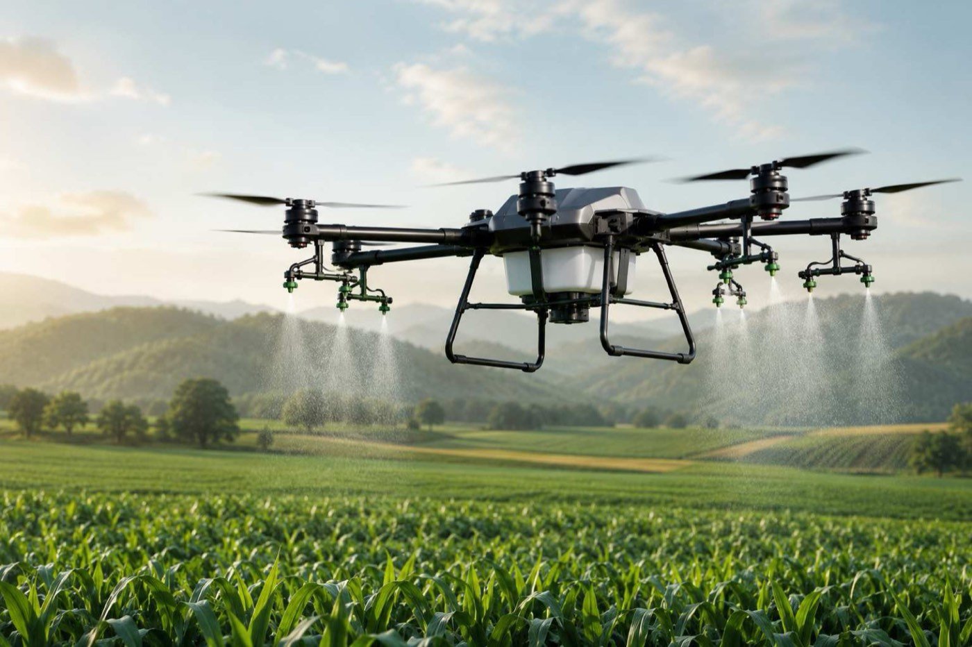
Explore all servicesHelping farmers embrace precision agriculture through advanced aerial technologies — smart spraying, crop monitoring and precision farming.
Heavy-lift multirotors carry spray and fertiliser payloads across entire fields in a single sortie, with RTK-guided lanes for even coverage.
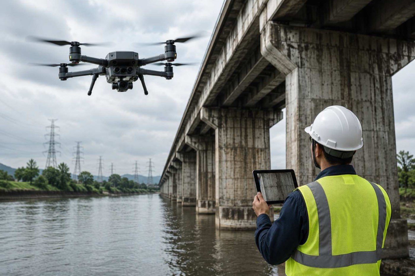
Drone-based inspections for bridges, power lines, pipelines and industries — without scaffolding, shutdowns or risk to crews.
Accurate GIS mapping, land surveys and 3D modelling turn every flight into measurable, georeferenced data.
Real-time aerial monitoring for government and private organisations — from border patrol to critical infrastructure.
Protected by CRPA anti-jam antenna matrices and dual GPS + GLONASS receivers to secure command telemetry links.
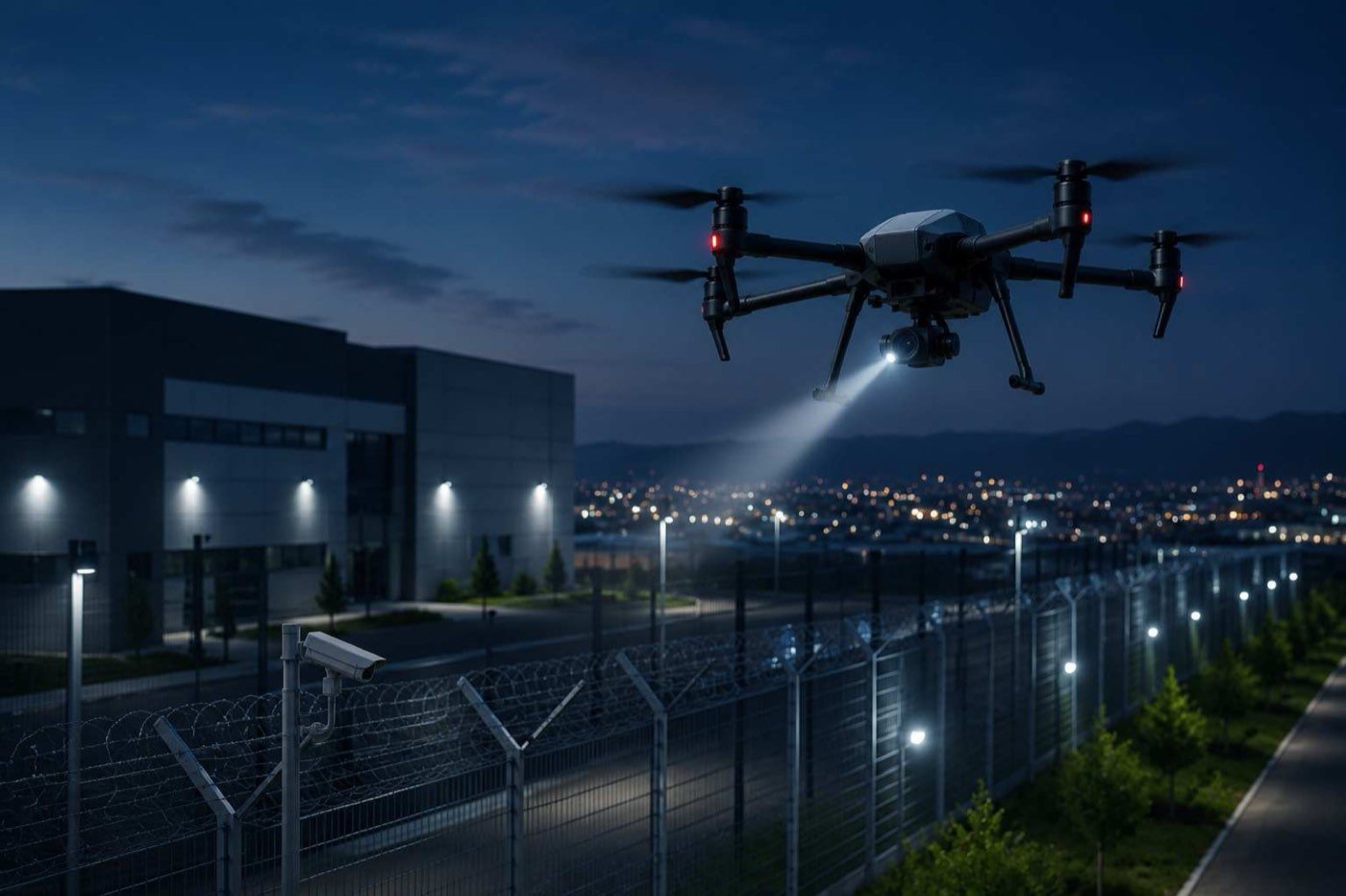
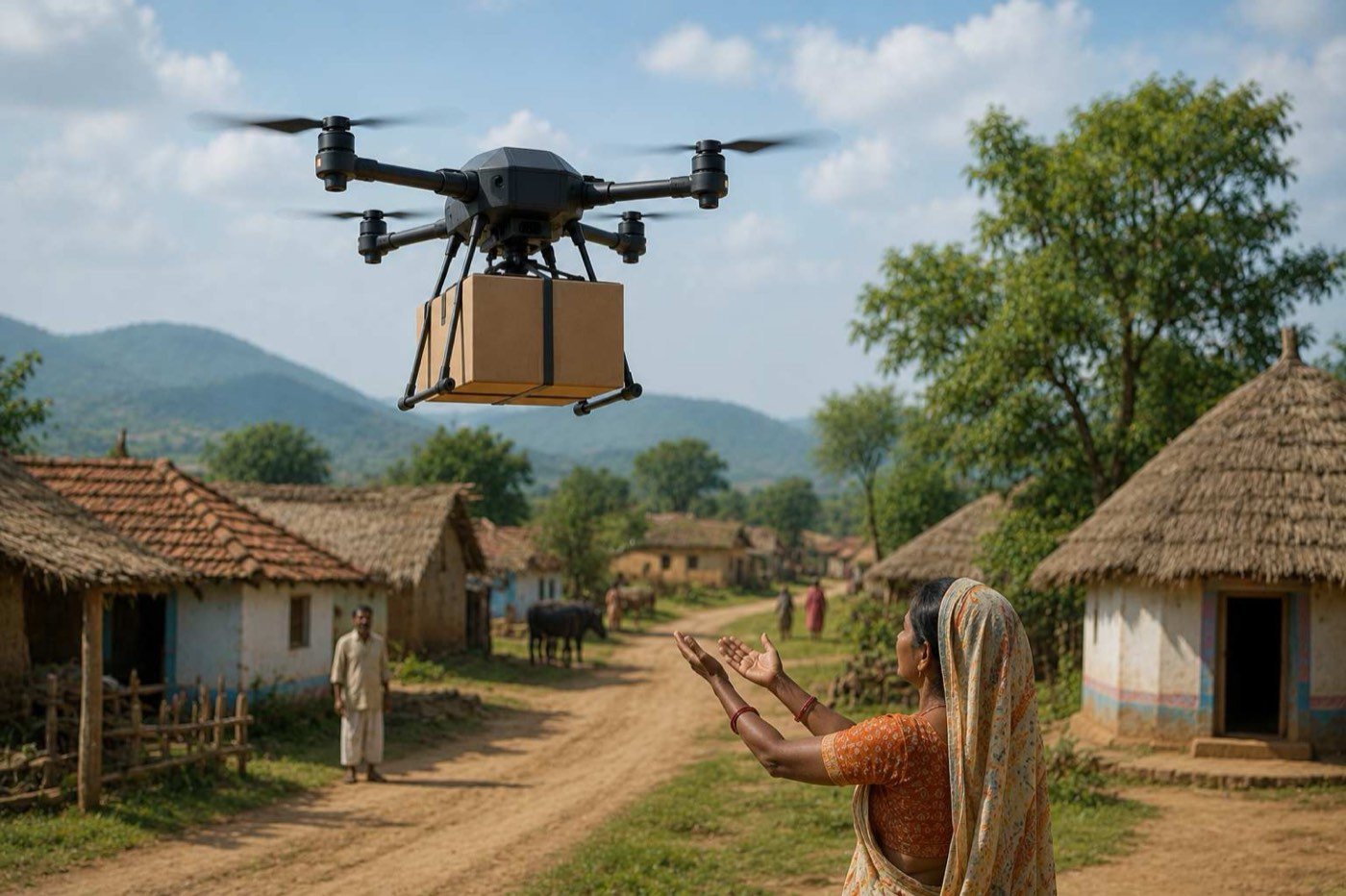
Fast and efficient delivery solutions for remote and critical locations, where roads are slow or impossible.
Reliable drone transportation for medical supplies, emergency services, remote areas and industrial deliveries.
RTK
Advanced multi-constellation RTK receivers map points with centimetre-level spatial precision in demanding real-time conditions.
CRPA
Anti-spoofing stack: CRPA anti-jam antenna matrices and dual GPS + GLONASS receivers keep command telemetry links locked.
Fold
Folds into a heavy-duty reinforced carry bag. Unbox, assemble and calibrate in the field — no workshop needed.
Types of drones manufactured
From highly agile micro recons to industrial heavy-cargo multirotors and long-range hybrid fixed-wing VTOL systems.
Technical specs
Part 1 • Micro Recon / Training
INR 60,000/-
Technical specs
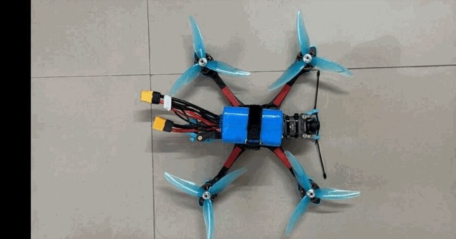
Part 1 • Cinematic / Freestyle
INR 65,000/-
Technical specs
Part 1 • Racing / Combat Training
INR 1,45,000/-
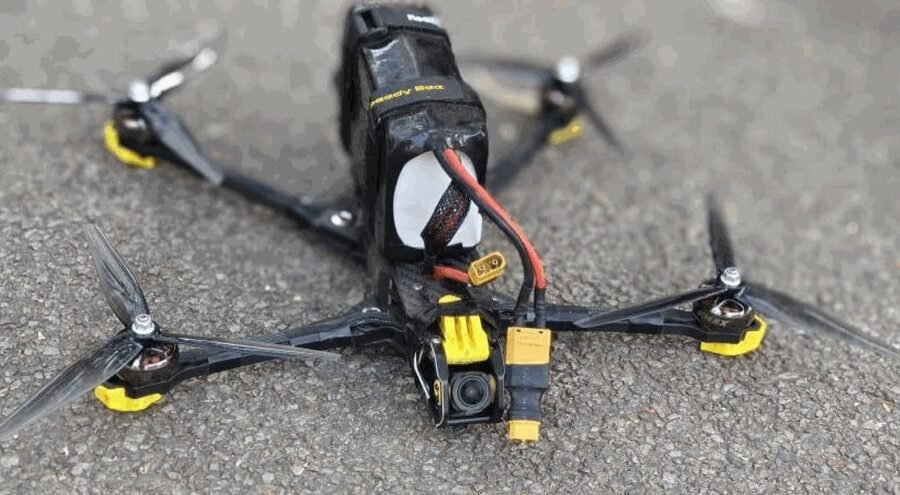
Technical specs
Part 1 • Long Range / Auto Intercept
INR 1,50,000/-
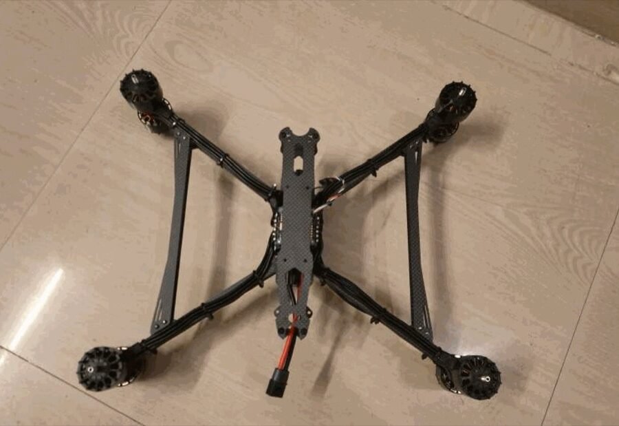
Technical specs
Part 1 • Border Patrol / Intercept
INR 1,75,000/-
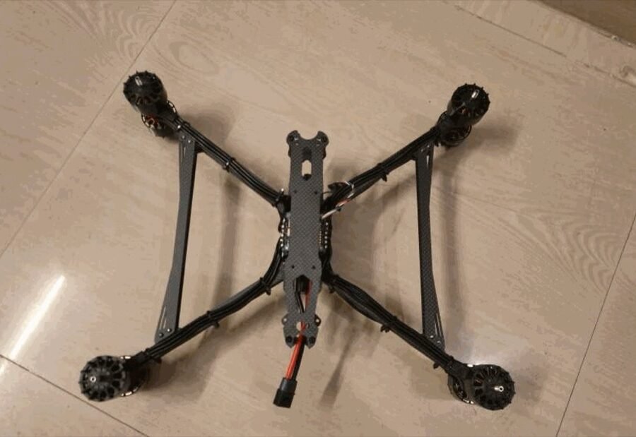
Technical specs
Part 1 • Border Patrol / Intercept
INR 2,00,000/-
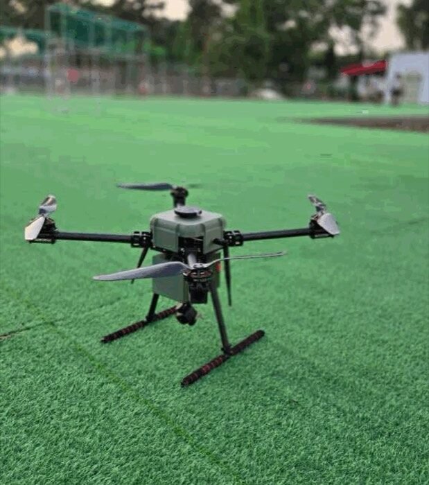
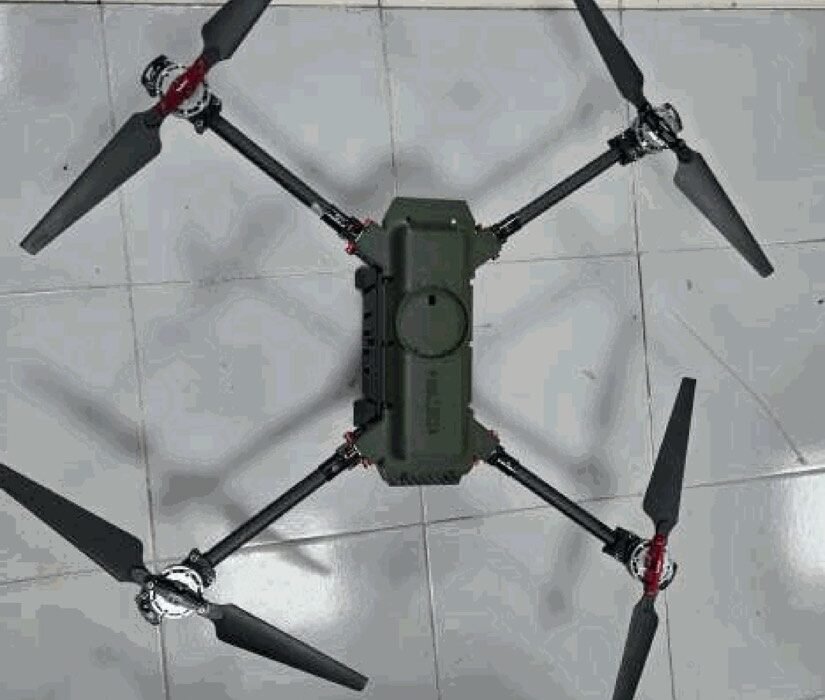
Technical specs
Part 2 • City Surveillance ISR
INR 3,50,000/-
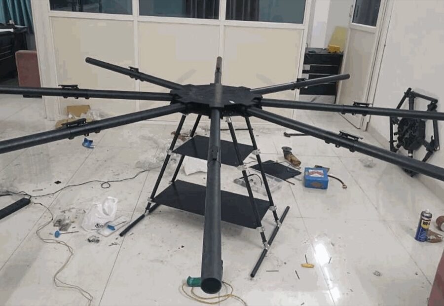
Technical specs
Part 2 • Tactical Surveillance ISR
INR 3,75,000/-
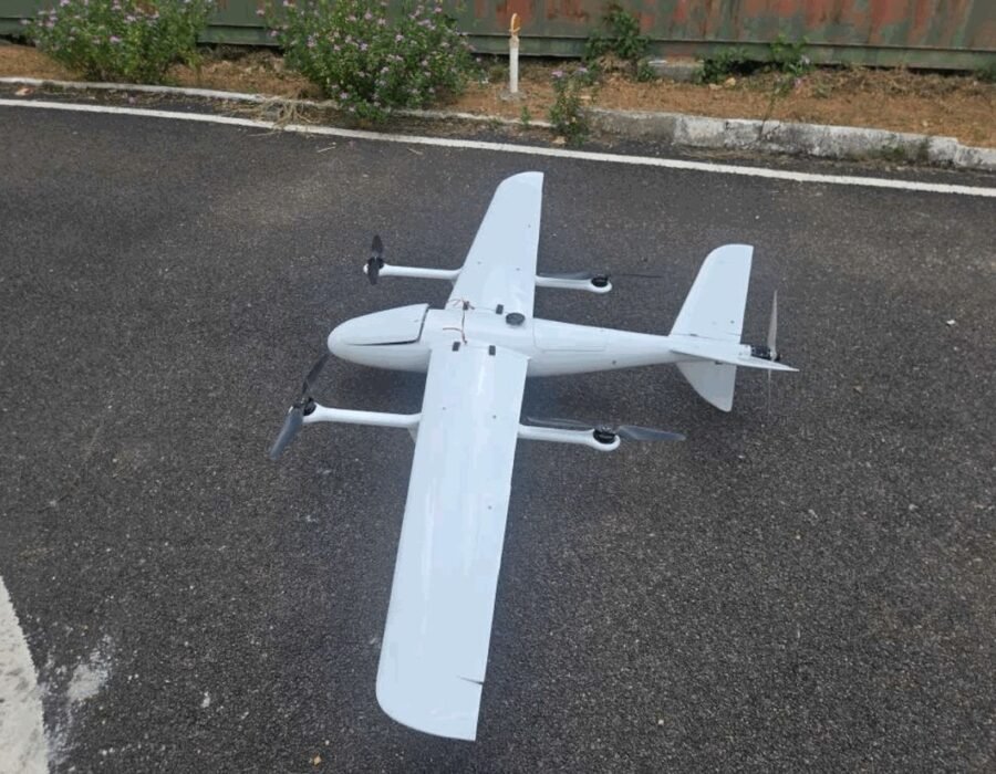
Technical specs
Part 3 • Heavy Cargo Logistics / Rescue
INR 9,00,000/-
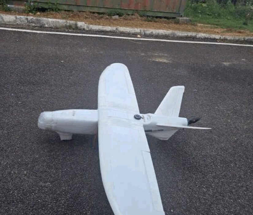
Technical specs
Part 4 • 40km Telemetry Range
INR 2,50,000/-
Technical specs
Part 4 • Vertical Takeoff & Land
INR 8,00,000/-
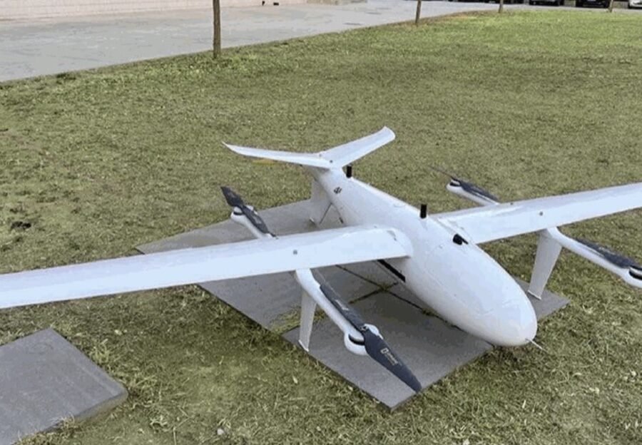
Technical specs
Part 4 • Vertical Takeoff & Land
INR 52,00,000/-
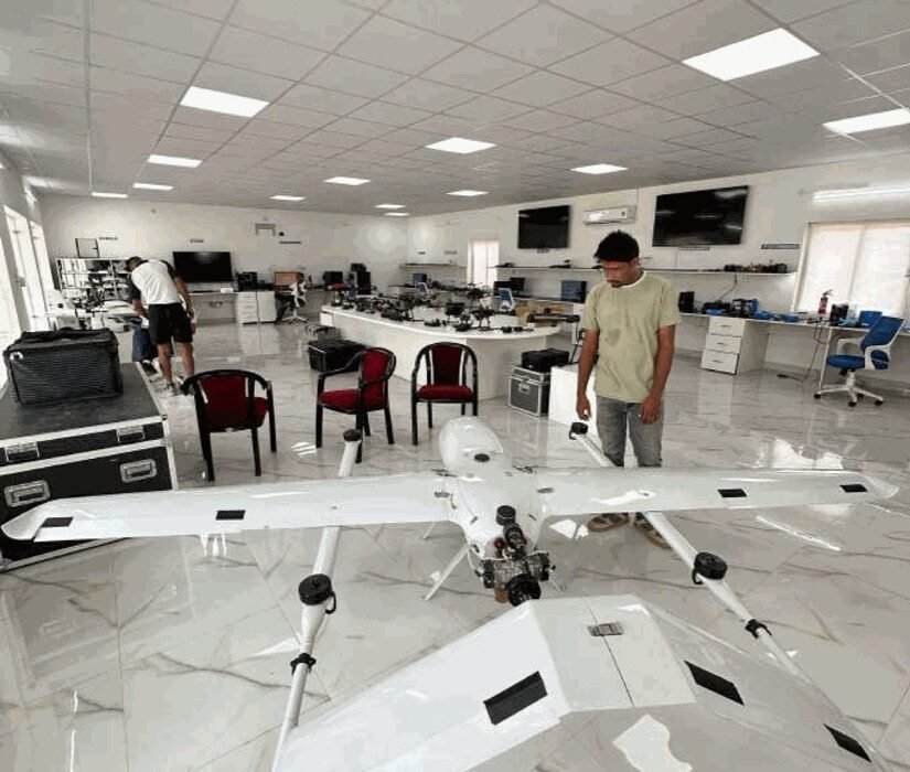
Technical specs
Part 4 • Engine Cruise / Autonomy
INR 75,00,000/-
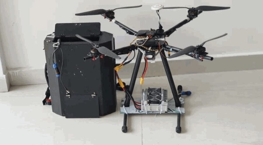
Technical specs
Part 5 • Continuous Power Hover
INR 12,0,000/-
Deploy with confidence
From the carry bag to autonomous flight, every Aerofoil system follows a four-stage protocol — built for accurate GIS mapping, land surveys and 3D modelling in the field.
01
Unboxing & Assembly
Safely extract the aircraft and its ground power or telemetry modules from the heavy-duty reinforced carry bag.
status: ready
02
Calibration & GNSS Link
Dual GPS + GLONASS signal indexing. An active RTK correction link locks spatial coordinates with centimetre-level precision.
status: rtk fixed
03
Mission Routing & Plan
Input grid navigation lanes or enable AI target tracking. Set flight speeds, failsafe altitudes and auto-intercept protocols.
status: route armed
04
Secure Deployment
Arm the propulsion and take off. Tethered platforms hold a constant hover; VTOL systems transition smoothly into fixed-wing cruise.
status: airborne
[ Vision ]
To become a globally recognized leader in drone manufacturing by delivering intelligent, sustainable, and innovative aerial solutions that shape the future of technology.
[ Mission ]
To empower industries with advanced UAV systems that improve efficiency, safety, and productivity through innovation and engineering excellence.